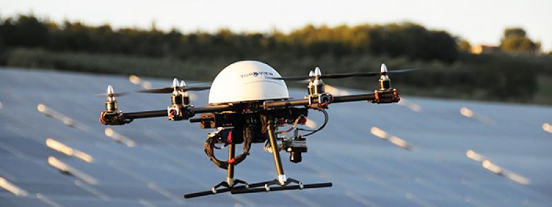
With the help of a Drone, we can make the control and verification of areas of interest, being able to reach sites inaccessible human.
Our Drone is equipped with a Sony high definition and a thermal camera last generation that allow us to carry over the visual and thermographic analysis, whether it be a storage site of eco-bales, or site of cultural and historical interest, or hydrogeological risk areas.
On photovoltaic and machinery system, for example, the inspection with our drone enables us to quickly analyze the efficiency of the machines used, while in areas of agricultural interest, historical or cultural use of such technology can provide valuable information on the state of the area being analyzed to make any interventions.
Our Drone is in carbon fiber class 900, which can support a maximum takeoff weight of 8kg. You can make flight assisted by GPS, manual and automatic (waypoints) with software programming mission and telemetry system. Equipped with a professional gimbal stabilization on three axes, it produces images of consistently high quality.
